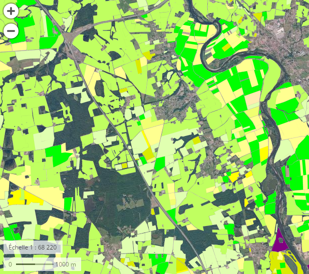
Visualisation Géoportail du Registre parcellaire…
Visualization
Published on March 28, 2017 by Institut National de l'Information Géographique et Forestière
The terms of use for data.gouv.fr have changed. We invite you to review them.
This is a degraded experience of data.gouv.fr. Please enable JavaScript and use an up to date browser.
Archived
Nombre de tués pas commune en Nord - Pas de Calais
Origine
Couche d'informations géographiques produite par géolocalisation des accidents
Organisations partenaires
DREAL HdF (Direction Régionale de l'Environnement de l'Aménagement et du Logement des Hauts de France)
Liens annexes
⚠️ This dataset is handled by the geo.data.gouv.fr platform. This platform is not actively maintained and as a result, you may find some bogus data or metadata. More information about the shutdown of geo.data.gouv.fr is available here.
February 28, 2020
Licence Ouverte / Open Licence version 2.0
Data description filled
Files documented
License filled
Update frequency not set
File formats are open
Temporal coverage not set
Spatial coverage filled
All files are available
Update frequency not set
Temporal coverage not set
Visualization
Published on March 28, 2017 by Institut National de l'Information Géographique et Forestière
There are no discussions for this dataset yet.
There are no community resources for this dataset yet.
589b011f88ee3811189b81a4
February 8, 2017
Unknown
February 28, 2020
Other
fr-120066022-orphan-926fef65-df99-4022-b552-e3f18dcca3c5http://catalogue.geo-ide.developpement-durable.gouv.fr
792dfb946b294aa52d49aec6abd371a0e7fe3ba3
fr-120066022-jdd-5b38fefc-50ac-4a45-ba46-e99674edafc1
shutdown-phase-2
529
209
1
0