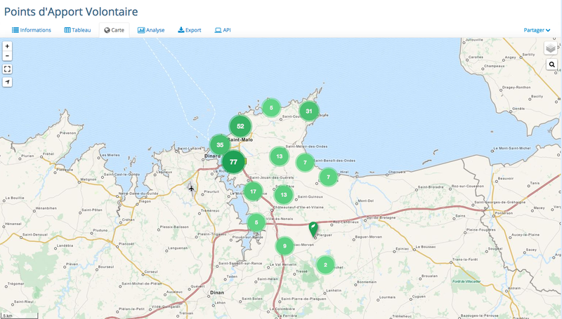
Carte des Points d'Apport Volontaire de Saint-Malo…
Visualization
Published on December 23, 2014 by Opendatasoft
This is a degraded experience of data.gouv.fr. Please enable JavaScript and use an up to date browser.
Localisation géographique des points d'apport volontaire, avec identification de la commune et du type de point (colonne papier ou verre, en surface ou enterrée,...)
La projection utilisée est RGF93/CC48
September 18, 2024
Licence Ouverte / Open Licence
Data description filled
Files documented
License filled
Update frequency followed
File formats are open
Temporal coverage not set
Spatial coverage filled
All files are available
Temporal coverage not set
Visualization
Published on December 23, 2014 by Opendatasoft
There are no discussions for this dataset yet.
There are no community resources for this dataset yet.
54940946c751df415b04805c
December 19, 2014
Punctual
September 18, 2024
French intermunicipal (EPCI)
820
139
1
1