Cartographie des zones inondables des Territoires à…
Visualization
Published on April 11, 2024 by Vianney Dugrain
This is a degraded experience of data.gouv.fr. Please enable JavaScript and use an up to date browser.
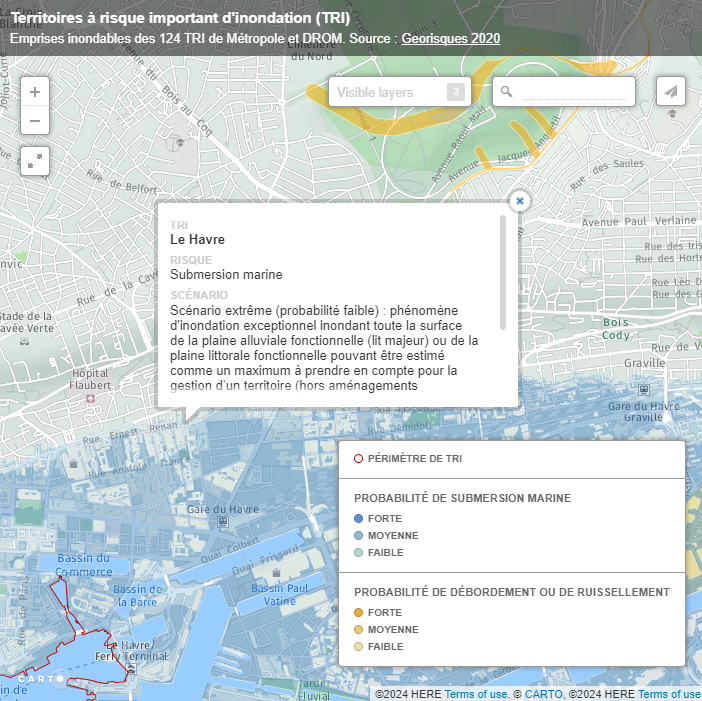
Jeux de données reprenant l'ensemble des 6 Territoires à Risque important d'Inondation (TRI) réalisés en région Bourgogne-Franche-Comté.Données TRI produites par les services de l'Etat (DDTs ou DREAL) à partir de données locales collectées par des bureaux d'études mandatés.
This dataset come from an external portal. View the original source.
February 2, 2021
Licence Ouverte / Open Licence version 2.0
Data description filled
Files documented
License filled
Update frequency not set
File formats are open
Temporal coverage not set
Spatial coverage not set
Some files are unavailable
Update frequency not set
Temporal coverage not set
Spatial coverage not set
Some files are unavailable
Visualization
Published on April 11, 2024 by Vianney Dugrain
There are no discussions for this dataset yet.
There are no community resources for this dataset yet.
5ea22d17dfde7bf8806a9dd1
April 23, 2020
February 2, 2021
None
None
None
None
5e96b5ff3993a18939709f0b
22f6a75c-31ee-49a5-b6bc-0f004720fa09
trouver.ternum-bfc.fr
2024-07-26 03:01:47.001000
CKAN
2020-04-23 00:00:00
2021-02-02 00:00:00
https://trouver.ternum-bfc.fr/dataset/perimetres-des-territoires-a-risque-important-dinondation-tri-en-region-bourgogne-franche-comte
perimetres-des-territoires-a-risque-important-dinondation-tri-en-region-bourgogne-franche-comte
1.1k
188
1
0