République
Française

Description
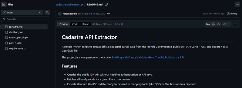
A simple Python script to extract official cadastral parcel data from the French Government's public API (API Carto - IGN) and export it as a GeoJSON file.
Features
- Queries the public IGN API without needing authentication or API keys.
- Fetches all land parcels for a given French commune.
- Exports standard GeoJSON data, ready to be used in mapping tools (like QGIS or Mapbox) or data pipelines.
- Thématique
- Aménagement du territoire et logement
- Type
- Application
- Mots clés
- cadastreparcelles-cadastralesplanification-cadastreplanificationcadastreplanning-cadastrereferentiels-cadastre
- Dernière mise à jour
- Date de création

Il n'y a pas encore de jeux de données associées