
ROUTE 500
From
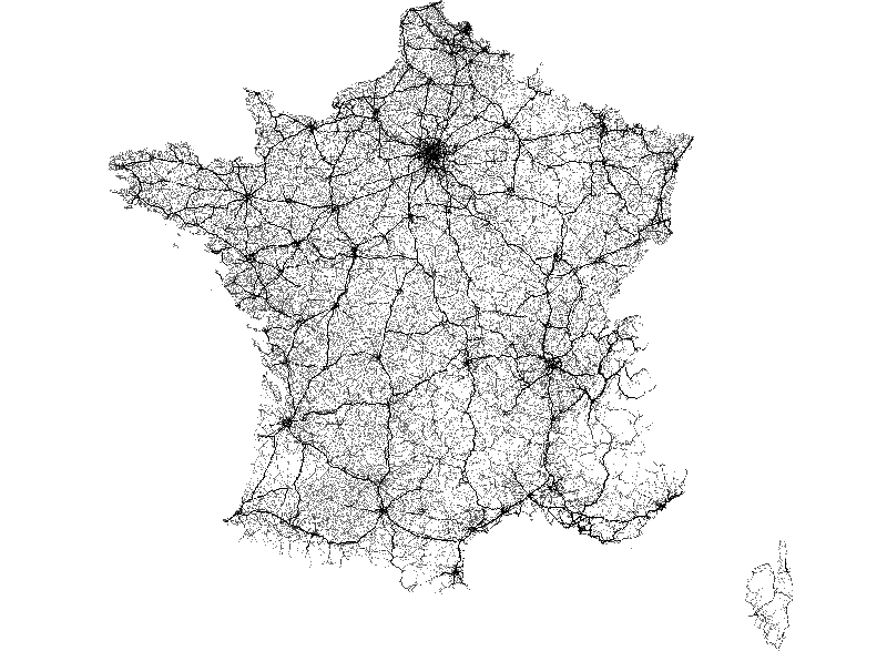
Dédié aux applications cartographiques et routières à l'échelon régional, ROUTE 500® proposait historiquement la description du réseau routier classé. Elle correspond désormais au réseau routier de la BD CARTO®. L’édition 2021 sera la dernière. Texte ROUTE 500® était la base de données routières…
Metadata quality:
Data description filled
Files documentation missing
License filled
Update frequency followed
File formats are open
Temporal coverage not set
Spatial coverage filled
All files are available
Updated hace 1 semana