
Contours Iris
From Institut National de l'Information Géographique et Forestière
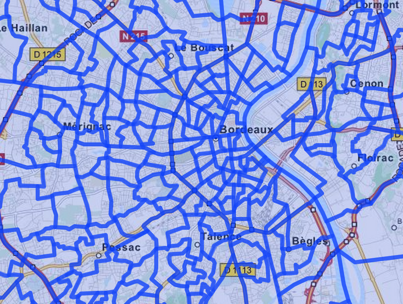
Coédition INSEE et IGN, Contours...Iris® est un fond numérisé des îlots Iris définis par l'INSEE pour les besoins des recensements sur l'ensemble des communes de plus de 10 000 habitants et la plupart des communes de 5 000 à 10 000 habitants.
Metadata quality:
Data description filled
Files documentation missing
License filled
Update frequency not followed
File formats are open
Temporal coverage not set
Spatial coverage filled
Some files are unavailable
Updated on October 21, 2016