
Contours Iris
Par Institut National de l'Information Géographique et Forestière
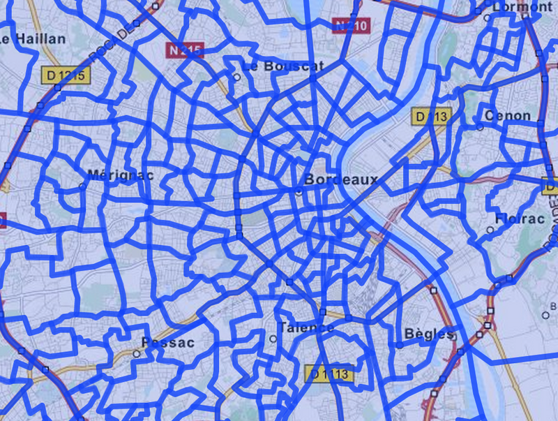
Coédition INSEE et IGN, Contours...Iris® est un fond numérisé des îlots Iris définis par l'INSEE pour les besoins des recensements sur l'ensemble des communes de plus de 10 000 habitants et la plupart des communes de 5 000 à 10 000 habitants.
Qualité des métadonnées :
Description des données renseignée
Documentation des fichiers manquante
Licence renseignée
Fréquence de mise à jour non respectée
Formats de fichiers standards
Couverture temporelle non renseignée
Couverture spatiale renseignée
Certains fichiers ne sont pas disponibles
Mis à jour le 21 octobre 2016