Archived
DONNEE THEMATIQUE : Localisation des Défibrillateurs Automatiques Externes (DAE) - Bas-Rhin
Description
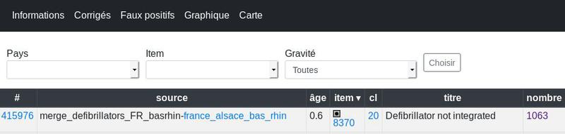
Localisation des Défibrillateurs Automatiques Externes (DAE) du Bas-Rhin accessibles au public
Organisations partenaires
Service Départemental d'Incendie et de Secours du Bas-Rhin (SDIS 67)
Producer
⚠️ This dataset is handled by the geo.data.gouv.fr platform. This platform is not actively maintained and as a result, you may find some bogus data or metadata. More information about the shutdown of geo.data.gouv.fr is available here.
Latest update
January 24, 2020
License
Licence Ouverte / Open Licence version 2.0
Metadata quality:
Data description filled
Files documented
License filled
Update frequency not set
File formats are open
Temporal coverage not set
Spatial coverage filled
All files are available
Metadata quality
Update frequency not set
Temporal coverage not set
2 Reuses
Map contrib - défibrillateurs - comparaison OSM -…
Visualization
Published on April 26, 2018 by Nicolas Bétheuil

There are no community resources for this dataset yet.
Information
Tags
ID
59256d13c751df5259330037
Temporality
Creation
May 24, 2017
Frequency
Unknown
Latest update
January 24, 2020
Spatial coverage
Territorial coverage granularity
Other
Actions
Embed
Extras
inspire:resource_identifier
170124_002FR-286700174
geop:dataset_id
68e850877c1327e239b862c9b8714ad256ad2214
inspire:identifier
170124_002
geop:archived
shutdown-phase-1
Statistics for the year
Reuses of this dataset
2
Followers
0