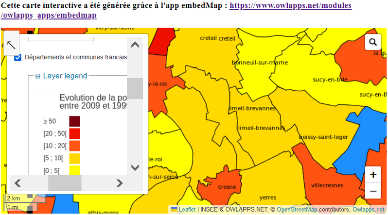
Evolution de la population des communes et…
Aplicación
Published on 15 de septiembre de 2023 by owl apps
This is a degraded experience of data.gouv.fr. Please enable JavaScript and use an up to date browser.

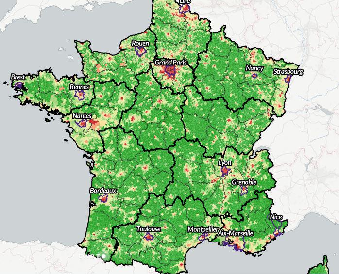
Générée chaque année jusqu'à 2016 à partir de la BD CARTO®, GEOFLA® est une base de données décrivant le découpage administratif national (France métropolitaine, Guadeloupe, Martinique, Guyane, Réunion, Mayotte) adaptée aux applications de géomarketing, de cartographie statistique et thématique à des échelles voisines du 1 : 1 000 000.
GEOFLA® permet à des échelles nationales et régionales de situer toute information thématique, d'analyser des données statistiques et de gérer des déplacements routiers.
A compter de l'année 2017, GEOFLA est remplacé par la base Admin Express, également en licence ouverte.
Les éditions 2010 à 2016 de GEOFLA restent téléchargeables ainsi que 2002 et 1997.
20 de abril de 2024
Licence Ouverte / Open Licence
Data description filled
Files documented
License filled
Update frequency followed
File formats are open
Temporal coverage filled
Spatial coverage not set
All files are available
Spatial coverage not set
Aplicación
Published on 15 de septiembre de 2023 by owl apps
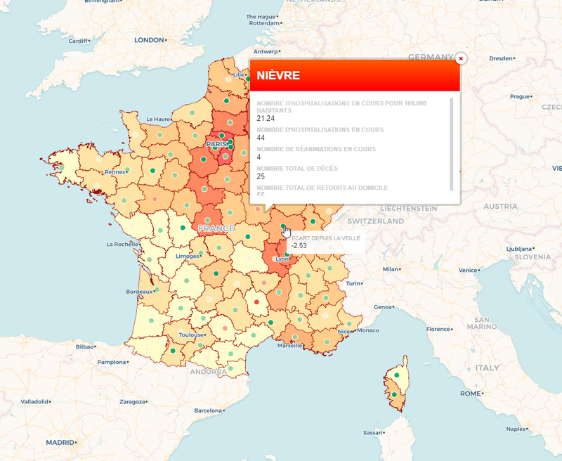
Visualización
Published on 25 de marzo de 2020 by Vianney Dugrain
Aplicación
Published on 11 de junio de 2019 by Kim Antunez
Aplicación
Published on 20 de noviembre de 2017 by Elodie Bergonnier
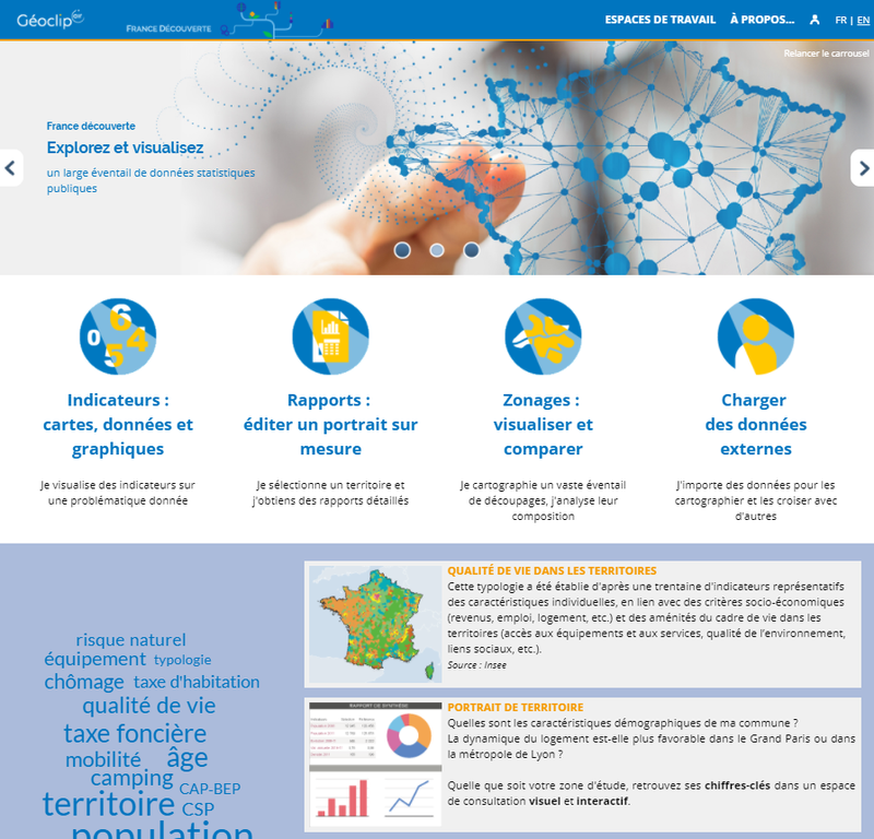
Visualización
Published on 10 de enero de 2017 by Boris Mericskay
There are no discussions for this dataset yet.
There are no community resources for this dataset yet.
5809e241c751df2646c562c5
21 de octubre de 2016
Irregular
2010 to 2016
20 de abril de 2024
7,2k
2,3k
5
3