Archived
Recensement du patrimoine culturel breton
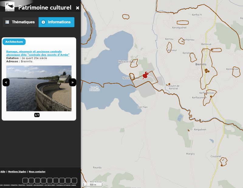
Description
Identification sur le territoire régional de tous les éléments bâtis antérieurs au milieu du 20e siècle (désignation, localisation, datation, état sanitaire).
Origine
La position géographique des éléments inventoriés est traitée sous la forme d’un point à partir de fonds tels que la BD Ortho (photographie aérienne ortho rectifiée), ainsi que les couches du cadastre moderne (parcellaire et bâti). Les polygones saisis ont été transformé en point en prenant le centroïde de celui-ci.
Organisations partenaires
Région Bretagne
Liens annexes
Producer
⚠️ This dataset is handled by the geo.data.gouv.fr platform. This platform is not actively maintained and as a result, you may find some bogus data or metadata. More information about the shutdown of geo.data.gouv.fr is available here.
Latest update
January 19, 2021
License
Licence Ouverte / Open Licence version 2.0
Metadata quality:
Data description filled
Files documented
License filled
Update frequency not set
File formats are open
Temporal coverage not set
Spatial coverage filled
All files are available
Metadata quality
Update frequency not set
Temporal coverage not set
1 Reuse
There are no discussions for this dataset yet.
There are no community resources for this dataset yet.
Information
Tags
ID
559b927288ee384ee4764f5b
Temporality
Creation
July 7, 2015
Frequency
Unknown
Latest update
January 19, 2021
Spatial coverage
Territorial coverage granularity
Other
Actions
Embed
Extras
inspire:resource_identifier
https://kartenn.region-bretagne.fr/geonetwork/srv/fre/xml.metadata.get?uuid=0cf6de5d-9746-44d8-b003-a2dae2e7e585
geop:dataset_id
0a970beb9551226a39ad0f19152394587dbec78d
inspire:identifier
0cf6de5d-9746-44d8-b003-a2dae2e7e585
geop:archived
shutdown-phase-2
Statistics for the year
Views
603
Downloads
1.4k
Reuses of this dataset
1
Followers
0