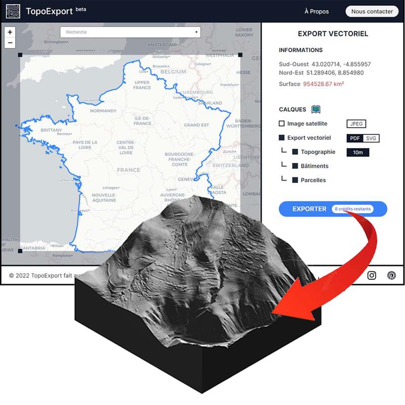
Modèle numérique de terrain (terrestre)
Description
Fichier ASCII (x,y,z)
Le Z correspond à la hauteur terrain sans les ouvrages d'art
Les valeurs sont exprimées en mètres Lambert 93 / IGN69
Issu d'une prise de vue aérienne par caméra numérique : Vexcel Ultracam Xp® avec GPS et INS
Date : Juil-août 2012
Pas : 5m
Classe de précision altimétrique : 2m, pouvant aller jusqu’à 3 à 4m EQM pour les zones rurales couvertes.
Classe de précision planimétrique : 2,5m.
Author
This dataset has been published on the initiative and under the responsibility of
Laurent DUPONT
Published on March 18, 2014 and updated on January 18, 2016
Latest update
March 18, 2014
License
Other (Open)
Metadata quality:
Data description filled
Files documented
License filled
Update frequency followed
File formats are open
Temporal coverage filled
Spatial coverage filled
All files are available
Metadata quality
1 Reuse

There are no discussions for this dataset yet.
There are no community resources for this dataset yet.
Information
Tags
License
Other (Open)
ID
53699a14a3a729239d2053d2
Temporality
Creation
March 18, 2014
Frequency
Punctual
Temporal coverage
2012/07 to 2012/08
Latest update
March 18, 2014
Spatial coverage
Territorial coverage
Île-Molène, Ouessant
Territorial coverage granularity
Other
Actions
Embed
Extras
datagouv_ckan_id
de3cb79c-83b8-4c09-9395-caa651bdc1cf
datagouv_ckan_last_sync
2014-09-16 09:39:54.889000
Statistics for the year
Views
1.5k
Downloads
303
Reuses of this dataset
0
Followers
0