Archived
Fab Labs & espaces de dissémination des usages numériques en Bretagne
Description
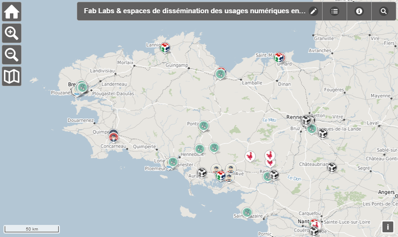
Cette carte recense les laboratoires de fabrication et lieux de dissémination des usages numériques en Bretagne et Loire Atlantique : Fab Labs, Hackerspaces, Makerspaces, Tiers-Lieux, Cantines numériques ou espaces de coworking, French Tech, Associations de développement des usages, Pôles de formations ou de recherche, etc.
Origine
Localisation via OpenStreetMap. La donnée est récupérée depuis github : https://github.com/grouan/bzh_fablab/ puis publiée en flux normés OGC grâce au GeoServer de la région Bretagne.
Organisations partenaires
Région Bretagne, Guillaume Rouan
Liens annexes
Producer
⚠️ This dataset is handled by the geo.data.gouv.fr platform. This platform is not actively maintained and as a result, you may find some bogus data or metadata. More information about the shutdown of geo.data.gouv.fr is available here.
Latest update
February 23, 2020
License
Licence Ouverte / Open Licence version 2.0
Metadata quality:
Data description filled
Files documented
License filled
Update frequency not set
File formats are open
Temporal coverage not set
Spatial coverage filled
All files are available
Metadata quality
Update frequency not set
Temporal coverage not set
1 Reuse
There are no discussions for this dataset yet.
There are no community resources for this dataset yet.
Information
Tags
ID
575962aa88ee3872a6640390
Temporality
Creation
June 9, 2016
Frequency
Unknown
Latest update
February 23, 2020
Spatial coverage
Territorial coverage granularity
Other
Actions
Embed
Extras
inspire:resource_identifier
https://kartenn.region-bretagne.fr/geonetwork/srv/fre/xml.metadata.get?uuid=ab444afb-7bd5-44ef-a67d-a1a1c6edff4e
geop:dataset_id
206d5e788a9c5854625af80f88c38f5f0a362bb8
inspire:identifier
ab444afb-7bd5-44ef-a67d-a1a1c6edff4e
geop:archived
shutdown-phase-2
Statistics for the year
Views
644
Downloads
159
Reuses of this dataset
1
Followers
0