
Contours des départements français issus d'OpenStreetMap
From OpenStreetMap
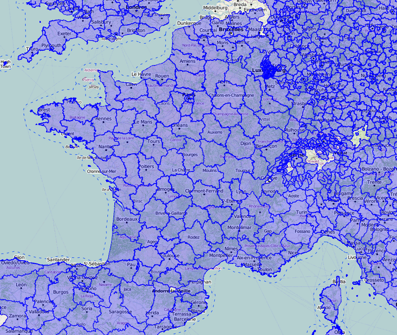
Exports du découpage administratif français au niveau départemental (contours des départements) issu d'OpenStreetMap produit dans sa grande majorité à partir du cadastre. Ces données sont issues du crowdsourcing effectué par les contributeurs au projet OpenStreetMap et sont sous licence ODbL qui…
Metadata quality:
Data description filled
Files documented
License filled
Update frequency not followed
File formats are open
Temporal coverage not set
Spatial coverage filled
All files are available
Updated on January 4, 2018